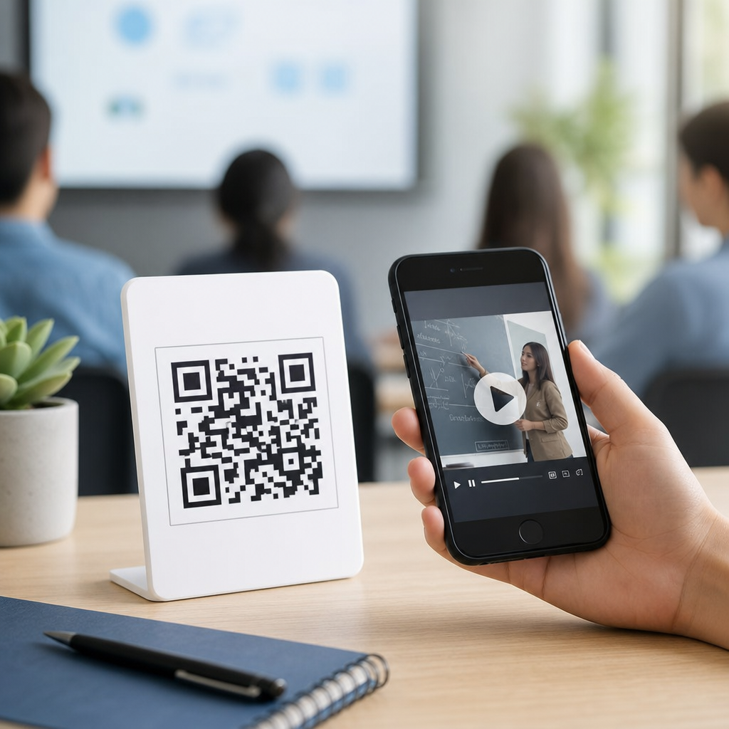
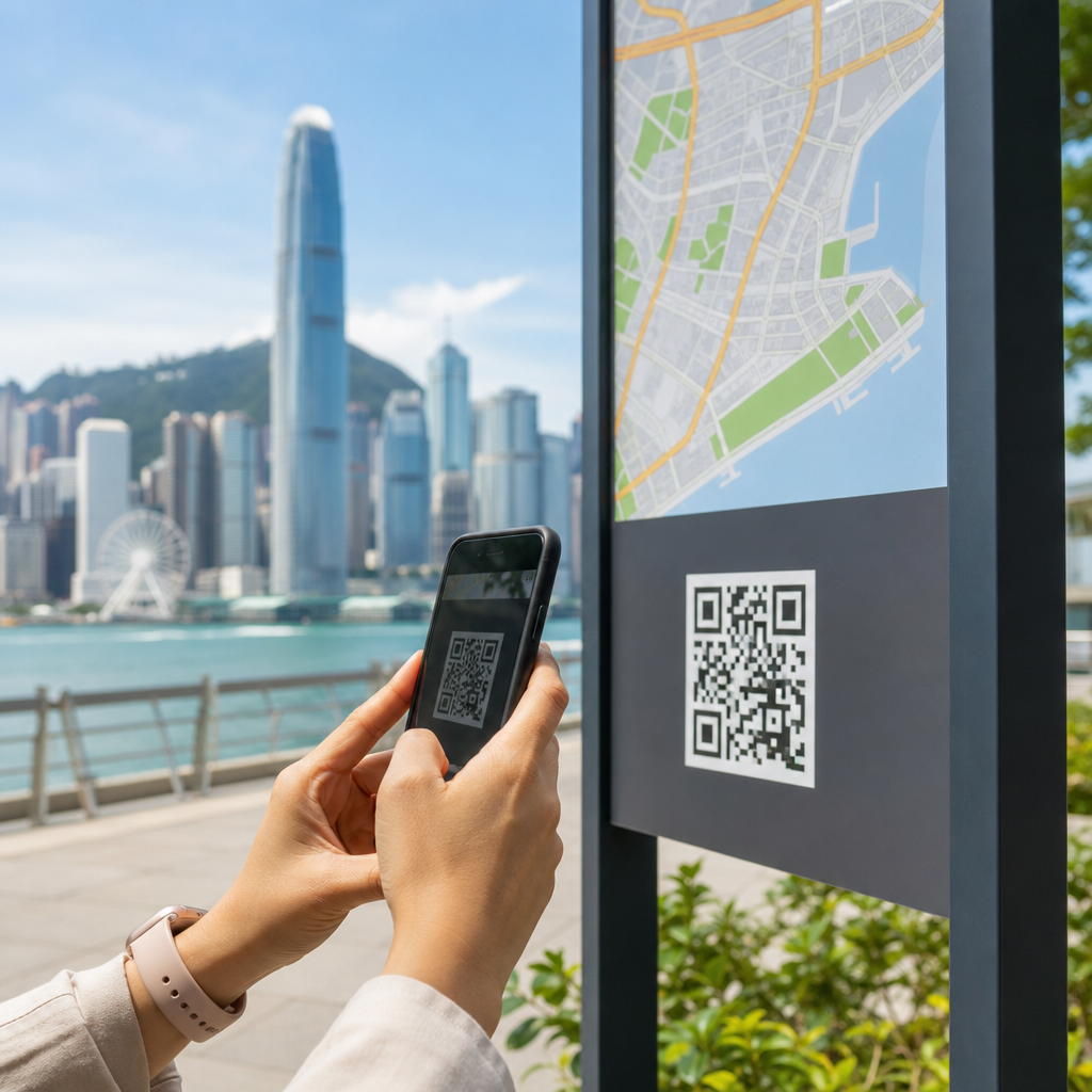
QR codes for city guides and maps have become one of the most practical tools in travel and tourism because they connect physical places to live digital information in seconds. In simple terms, a QR code is a two-dimensional barcode that a smartphone camera can scan to open a webpage, map, ticket, audio guide, menu, or download link without typing a URL. For city destinations, that small square solves a constant visitor problem: tourists need directions, context, language support, and up-to-date recommendations while they are already moving through unfamiliar streets. I have worked on destination content systems where the hardest part was not publishing information, but getting the right information into a traveler’s hands at exactly the right moment. QR codes do that better than static signs, brochures, or printed maps alone.
As a hub topic within travel and tourism, QR codes for city guides and maps sit at the intersection of visitor experience, wayfinding, accessibility, and destination marketing. A city guide usually includes landmarks, museums, neighborhoods, food recommendations, public transport advice, and cultural background. A map adds geospatial context, helping visitors understand distance, routes, transit connections, and nearby services such as toilets, pharmacies, or tourist information points. When a QR code links these elements to mobile-friendly content, the city can update schedules, correct closures, add seasonal events, and personalize language without reprinting anything. That matters for tourism boards, municipal planners, hotels, tour operators, museums, and business improvement districts that need consistent guidance across many touchpoints.
The value is measurable. Tourism users scan because it removes friction. Destinations benefit because every scan creates a data point: where visitors looked for help, which neighborhoods generated interest, what languages were selected, and when demand peaked. Travelers benefit because navigation becomes faster and less stressful. Businesses benefit because the guide can include featured stops, booking links, and curated routes. Accessibility also improves when codes launch screen-reader-friendly pages, larger text, audio narration, or step-free route maps. Used well, QR codes do not replace a city’s physical signage system; they enhance it by turning a fixed sign into a flexible service layer. That is why this topic now anchors many modern travel and tourism strategies, from self-guided heritage trails to multimodal transport maps and destination-wide digital concierge programs.
How QR codes improve city guides and maps for travelers
The clearest benefit is immediate access to context. A printed sign can say “Old Town Square,” but a QR code can explain the square’s history, opening times for nearby attractions, walking directions to the cathedral, and where to buy transit passes. In practice, the best city guide QR experiences answer five questions fast: Where am I, what is nearby, how do I get there, what should I know before I go, and what can I do next? If any of those answers are missing, the scan feels incomplete. That is why leading destinations structure landing pages around map view, text summary, practical details, and clear actions such as “start route,” “buy tickets,” or “listen in your language.”
Dynamic QR codes are especially useful because the destination can change the linked content without replacing the printed marker. A museum district sign can point to summer festival listings in July and holiday market routes in December. During transport disruption, the same code can display a detour map. During major events, such as marathons or citywide celebrations, the code can direct people to crowd management routes and live service updates. Static codes still have a place for permanent assets, but city guide systems usually work best when they are centrally managed through a platform that supports redirects, analytics, UTM tagging, and localization.
Real-world use cases are broad. Historic centers use QR plaques beside buildings to open multimedia walking tours. Parks departments place codes at trailheads that show route difficulty, estimated time, and safety notices. Transit agencies add codes to station maps so visitors can switch from a wall diagram to turn-by-turn directions on their phones. Hotel lobbies display destination map codes that send guests to curated neighborhood guides instead of handing out outdated pamphlets. Convention bureaus use codes in visitor centers, airport arrivals halls, and event badges to unify the visitor journey from arrival to exploration. In each case, the code works because it reduces uncertainty in a moment when the traveler needs confidence.
Best practices for designing QR code city guide experiences
A successful QR code campaign starts with the destination page, not the code itself. I have seen cities spend heavily on attractive plaques only to link them to cluttered pages that load slowly, are not mobile responsive, or bury the map under promotional banners. For travel and tourism, the landing experience should open quickly on mobile networks, detect language where possible, and present essential details above the fold. Include location name, short description, hours if relevant, cost, accessibility notes, and a prominent map action. If the page supports offline saving or integration with Google Maps, Apple Maps, or OpenStreetMap-based tools, usability improves further.
Physical placement matters just as much as digital design. Codes should be mounted at a natural scanning height, with enough contrast and quiet space around the symbol for reliable reading. Avoid reflective surfaces, tiny print, awkward corners, or positions that force people to stand in traffic. Add a plain-language call to action such as “Scan for route, history, and nearby stops” so visitors know what they will get. In multilingual destinations, pair the code with universal icons and a short line in the top visitor languages. Error correction should be selected based on environment; outdoor signage often benefits from higher resilience because weather and wear degrade printed materials over time.
Content governance is the difference between a pilot and a durable program. Tourism information ages quickly. Restaurant lists change, event pages expire, and construction affects routes. Establish ownership for each content type, review schedules, and approval workflows. A city tourism office might own editorial copy, the transport authority might maintain route updates, and cultural institutions might manage venue details. Use a shared taxonomy for neighborhoods, attraction types, and traveler intents so linked pages stay consistent across the destination. When this governance exists, QR codes become dependable navigation assets instead of one-off marketing experiments.
Where travel and tourism organizations use QR codes most effectively
Different travel stakeholders deploy QR codes for distinct goals, and understanding those goals helps build a stronger hub strategy across the city visitor journey.
| Organization | Typical QR code use | Main visitor benefit | Operational benefit |
|---|---|---|---|
| Tourism boards | Destination maps, neighborhood guides, seasonal campaigns | Quick trip planning on arrival | Centralized analytics and content updates |
| Museums and heritage sites | Audio tours, exhibit maps, multilingual interpretation | Deeper context without extra staff | Lower print costs and richer storytelling |
| Hotels | Local recommendations, transport maps, concierge services | Faster access to trusted nearby options | Reduced front-desk repetition |
| Transit agencies | Stop-level maps, disruption alerts, fare guidance | Less confusion in unfamiliar systems | Real-time service communication |
| Tour operators | Meeting point maps, self-guided routes, booking links | Clearer logistics and simpler discovery | Fewer missed departures |
These use cases often overlap. A visitor might scan a code at the airport from the tourism board, then another in a hotel lobby, then another at a tram stop, all while expecting a coherent experience. That is why destination ecosystems benefit from shared design standards, common map layers, and agreed naming conventions. If one guide says “Central Market” and another says “Mercado Centro,” confusion grows. Consistency across organizations increases trust and reduces support requests.
City guide hubs also work best when they connect to related travel and tourism content instead of acting as isolated pages. A neighborhood map should branch to restaurant guides, museum passes, walking tours, family itineraries, event calendars, and transport explainers. A transport map should link to airport transfer guidance, contactless payment instructions, and accessibility resources. A heritage trail should connect to conservation information, booking pages, and nearby businesses. In other words, the city guide QR code is often the entry point to a larger information architecture that supports the entire destination experience.
Measurement, accessibility, and common mistakes to avoid
Measuring performance requires more than scan counts. Useful metrics include unique scans, repeat scans, device type, language selection, bounce rate, route starts, ticket clicks, and conversions such as bookings or pass purchases. Location-level data shows which signs perform best, while time-of-day patterns reveal traveler demand. Platforms such as Bitly, Beaconstac, QR Code Generator Pro, and enterprise link management tools can track dynamic QR activity, but analytics become far more useful when tied to web events in Google Analytics 4 and tagged consistently. For tourism teams, this data can influence staffing, signage investment, and content priorities across districts.
Accessibility must be built in from the start. The linked page should support screen readers, high-contrast text, logical heading structure, readable font sizes, and descriptive alt text where images matter. Audio summaries help users with visual impairments and travelers who prefer listening while walking. Maps should include text alternatives for key directions, because not every user can interpret interactive cartography easily. Step-free navigation, lift outage notices, hearing loop information, and accessible toilet locations are not niche extras; for many visitors, they determine whether a city feels navigable at all.
Common mistakes are predictable. Some organizations send scans to homepages instead of context-specific landing pages, forcing users to search again. Others use low-quality printing, expired links, app-download barriers, or content that is not translated. Another frequent problem is overloading one code with too many choices, which creates decision fatigue. Keep each code tied to a clear intent: orientation, route guidance, historical context, booking, or support. Finally, do not assume mobile data is always strong. Compress images, minimize scripts, and offer lightweight pages that perform well in dense urban areas and older devices.
QR codes for city guides and maps work best when they are treated as infrastructure for visitor experience rather than decorative technology. They give destinations a scalable way to connect streets, stations, hotels, attractions, and public spaces to current digital guidance. The core principles are straightforward: link each code to a specific traveler need, maintain the content rigorously, make the experience mobile fast, and design for accessibility from the beginning. For travel and tourism organizations, the payoff is clearer wayfinding, better engagement, lower print waste, and stronger insight into how visitors move through the city. If you are building an industry-specific travel content strategy, start by auditing your existing guides and maps, then identify the moments where a QR code can remove friction immediately.
Frequently Asked Questions
What are QR codes for city guides and maps, and how do they help travelers?
QR codes for city guides and maps are scannable codes placed on signs, brochures, transit stops, museum displays, hotel materials, and public information boards that instantly connect visitors to digital travel content. When a traveler scans the code with a smartphone camera, it can open a live map, walking route, attraction guide, translated information page, ticket portal, restaurant listing, or audio tour without requiring the user to type a web address. This makes the travel experience much faster and easier, especially for people navigating an unfamiliar destination.
They help travelers by turning physical locations into smart information points. Instead of relying on printed maps that may be outdated or difficult to read, visitors can access current directions, updated opening hours, transportation changes, local recommendations, and emergency contact details in seconds. QR codes also reduce language barriers because the linked page can display content in multiple languages. For cities and tourism offices, this creates a more connected, responsive, and visitor-friendly experience while reducing the need to constantly reprint materials.
Where can cities and tourism organizations use QR codes most effectively?
Cities and tourism organizations can use QR codes effectively anywhere visitors naturally stop, look for guidance, or need more context. Common high-value placements include airport arrival areas, train stations, bus stops, visitor centers, hotel lobbies, historic landmarks, museums, public squares, walking trails, bike rental stations, and event venues. A QR code at a landmark can link to historical background, audio narration, archival photos, and nearby points of interest. A code at a transit hub can open live route maps, fare details, and service alerts. In a printed city guide, each neighborhood section can include a scannable code that launches navigation directly on a mobile map.
The most effective uses are the ones that match the visitor’s immediate need in that exact location. For example, someone standing in a cultural district may want a self-guided tour, while someone at a restaurant row may want menus, reviews, or reservation links. At outdoor attractions, QR codes can provide safety information, trail maps, accessibility notes, and weather-related updates. The key is context: the code should lead to content that feels useful right where the traveler is standing, not just to a generic homepage. When implemented thoughtfully, QR codes become a practical bridge between the physical city and real-time digital assistance.
Why are QR codes better than traditional printed maps and brochures alone?
Printed maps and brochures still have value, but they are limited by the fact that they become outdated quickly and cannot adapt to changing travel conditions. A QR code solves that problem by linking to live digital content that can be updated at any time without replacing the printed material itself. If a museum changes its hours, a festival updates its schedule, a road closes, or a transit route is delayed, the information behind the QR code can reflect those changes immediately. This gives travelers more accurate guidance and helps prevent confusion.
QR codes also add depth that print cannot provide on its own. A brochure can only fit so much information, while a digital destination page can include interactive maps, multiple language options, videos, booking tools, accessibility information, downloadable routes, and personalized recommendations. That makes the experience more useful for a wider range of travelers, including international visitors, families, solo tourists, and people with mobility needs. From an operational standpoint, QR codes are also more efficient and sustainable because cities can reduce printing costs, limit paper waste, and improve communication without redesigning every physical guide each time information changes.
Do QR codes for city guides and maps work well for international visitors?
Yes, QR codes are especially valuable for international visitors because they remove several common friction points at once. Travelers arriving in a new city often need quick directions, translated information, public transport help, and clarity about local attractions. A well-designed QR code system can direct them instantly to content in their preferred language, making navigation and decision-making much easier. Instead of trying to interpret a sign in an unfamiliar language or search manually for official information, visitors can scan once and access a structured, mobile-friendly guide tailored to their needs.
This is particularly useful in destinations with heavy tourism traffic where visitors may come from many countries and use different devices. QR-linked content can include multilingual pages, icon-based navigation, map pins, currency or payment guidance, cultural tips, and emergency instructions. It can also connect travelers to booking platforms, downloadable city maps, or audio guides that explain local landmarks in a familiar language. When cities use QR codes with internationally accessible content, they improve usability, reduce visitor stress, and create a more inclusive tourism experience that feels modern, efficient, and welcoming.
What should cities include on the pages linked from QR codes to make them more useful?
The page linked from a QR code should be designed for speed, clarity, and immediate usefulness. At minimum, it should load quickly on mobile devices and present the information a visitor is most likely to need right away. For city guides and maps, that often means interactive directions, current opening hours, a brief description of the location, nearby attractions, transport options, contact details, and language selection. If the QR code is placed at a landmark or district entrance, the page should also include historical or cultural context so travelers understand what they are seeing, not just where they are standing.
To make the experience even more valuable, cities should include practical travel tools such as walking routes, public restroom locations, accessibility information, ticket links, safety guidance, event updates, and recommendations for nearby dining or activities. Audio guides, downloadable offline maps, and itinerary suggestions can add another layer of convenience. It is also important that the content be official, accurate, and easy to scan visually, since travelers may be using it on the move. The best QR code landing pages are not overloaded with marketing language; they are focused, trustworthy, and built around solving real visitor questions quickly.